Services
-

Architectural design
We plan and design residential or commercial buildings to emphasize both beauty and usefulness. In addition, to meet the needs of the client and/or project criteria. To us, the design must be appropriate for the user's experience in balance with the project budget.
-
Interior design
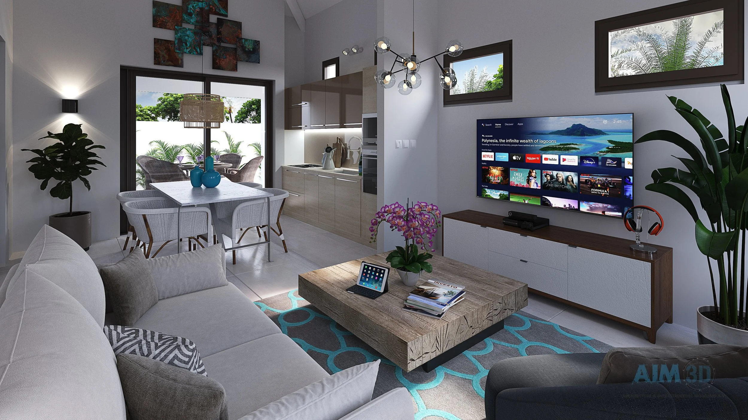
Decoration is the furnishing or adorning of a space with decorative elements, sometimes complemented by advice and practical assistance. We understand people’s behavior in order to design functional spaces that can be visually pleasing in a building.
-
Landscaping architecture
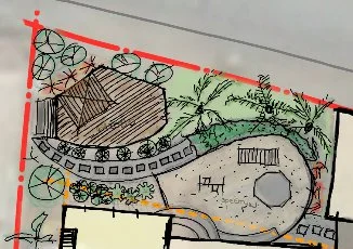
We analyze, plan, and design exterior living spaces. We design using form and functionality to manage landscape plants to create beauty within the landscape. We take the technical aspect of landscaping also into account. It’s called Site engineering. Landscaping is closely related to infrastructure in many cases.
-
Infrastructure/ Site engineering
We plan and design roads, plot partitions, and most importantly water drainages to keep water away from entering buildings. We also create grading plans for sloped plots and calculate the amount of soil that needs to be removed or filled. Landscaping and infrastructure goes together.
-
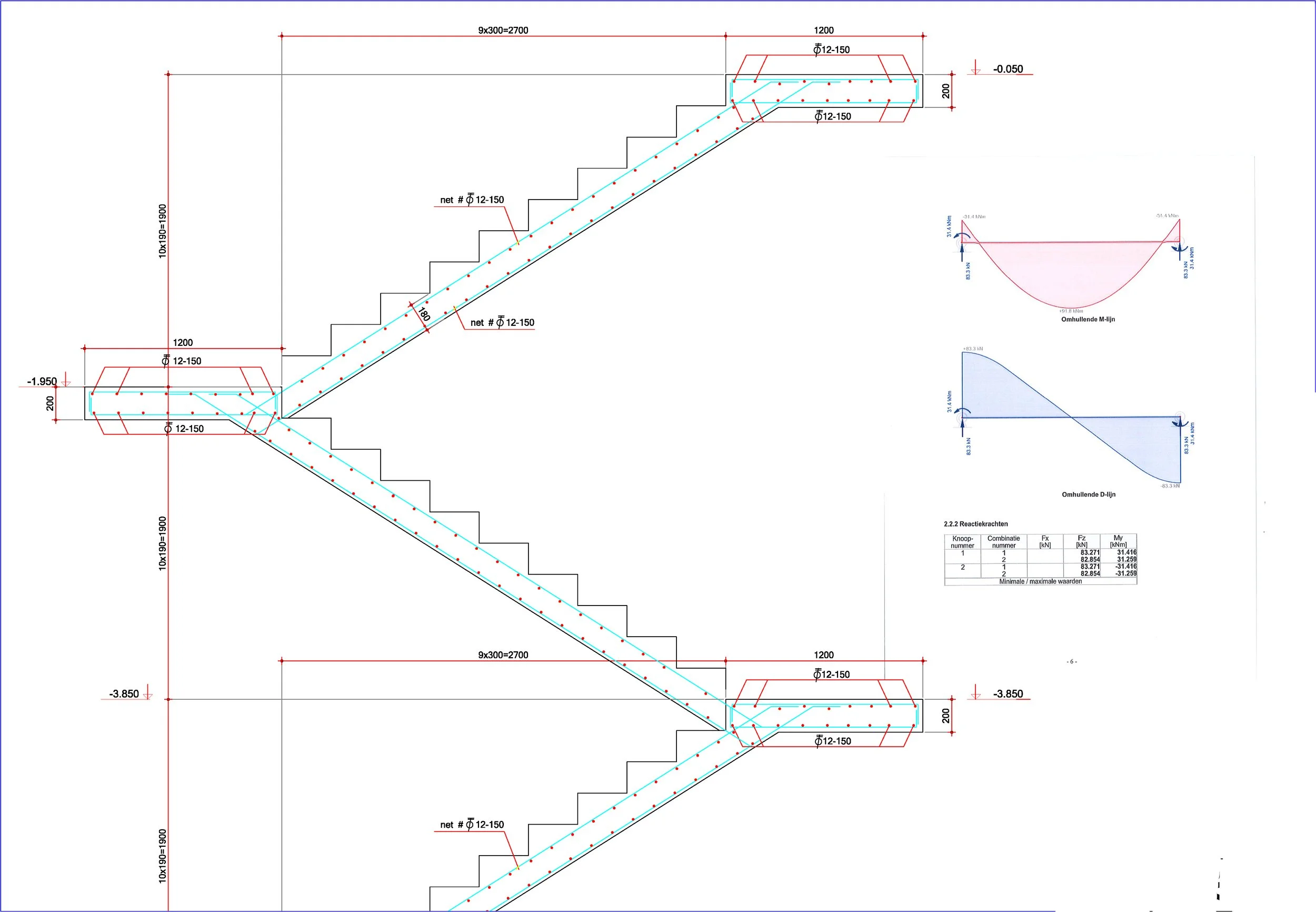
Structural Calculations
We are primarily concerned with designing and constructing buildings and structures that are safe and capable of withstanding the elements to which they will be exposed, as well as improving the structural integrity of existing buildings. We deal with the analysis and design of structures that support or resist loads.
-
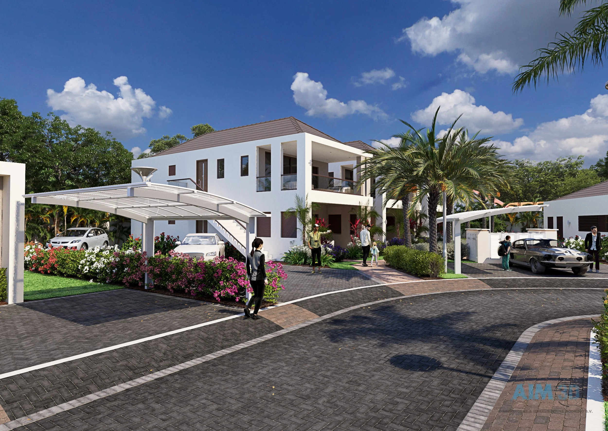
3D Visualizations
3D Architectural and infrastructure visualizations will help you understand a project better. It will help you avoid costly mistakes before execution. You will be able to identify flaws or poor-looking designs. We put a lot of effort into giving our clients a top-notch tool for project review, project marketing, showcasing, and commercialization.
-

Requesting Building permit
We prepare all necessary documentation for submission to the ROP office to request building permit.
-
Construction
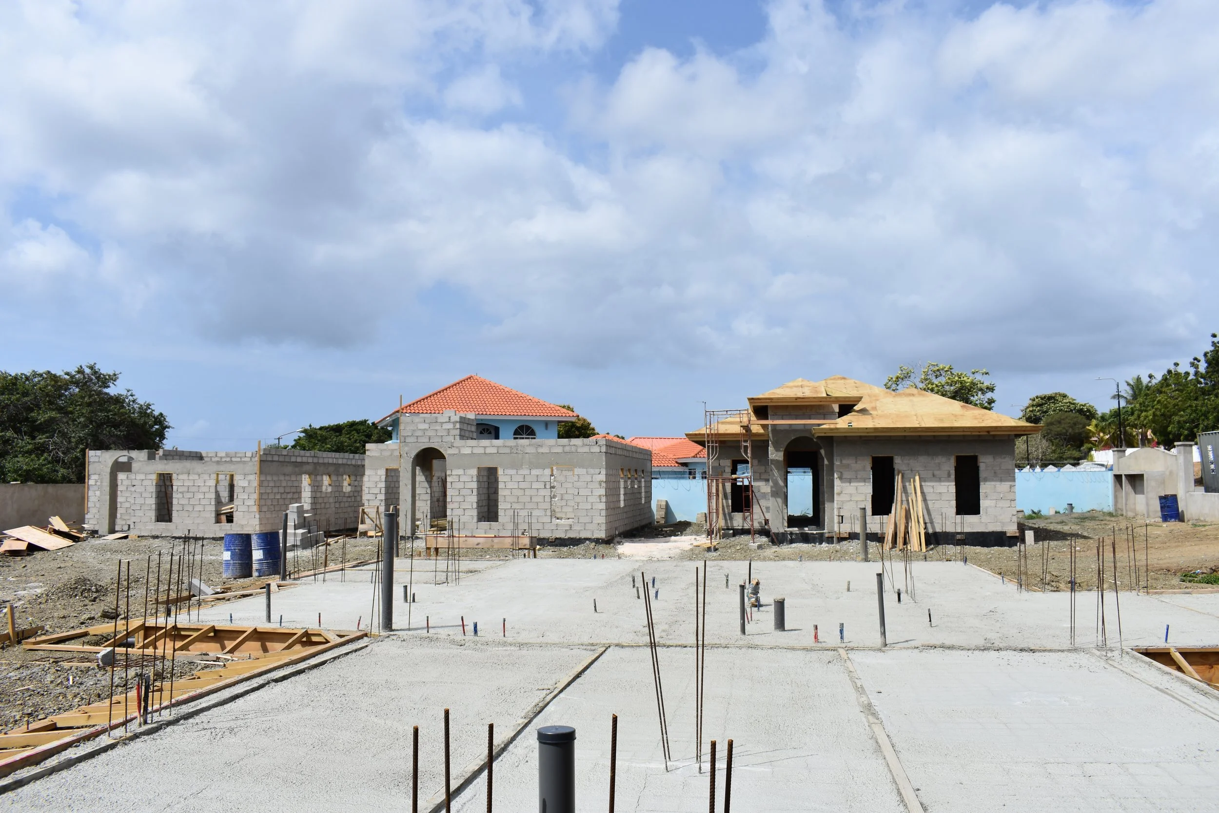
After we receive the building permit we build.
-
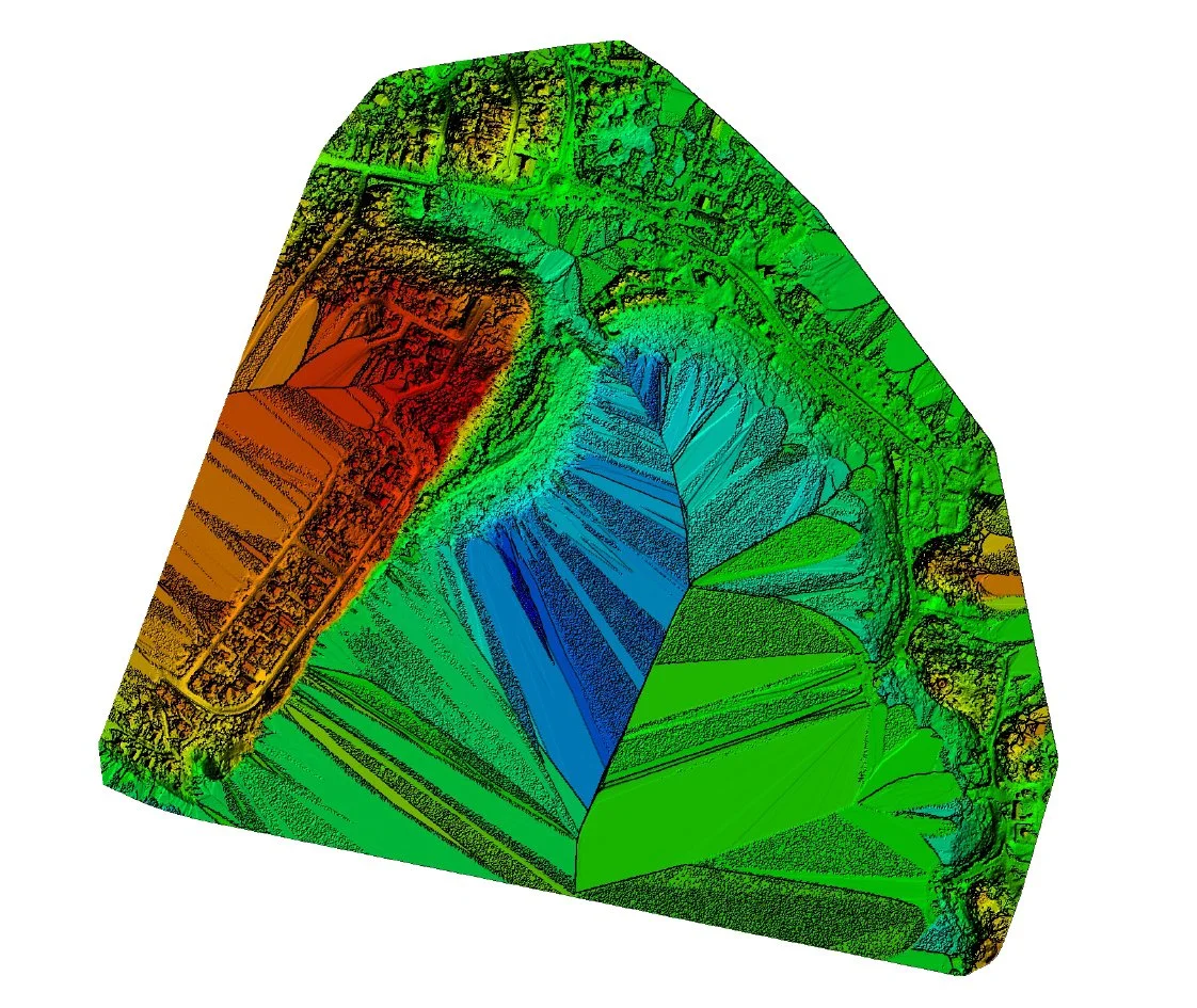
Drone mapping
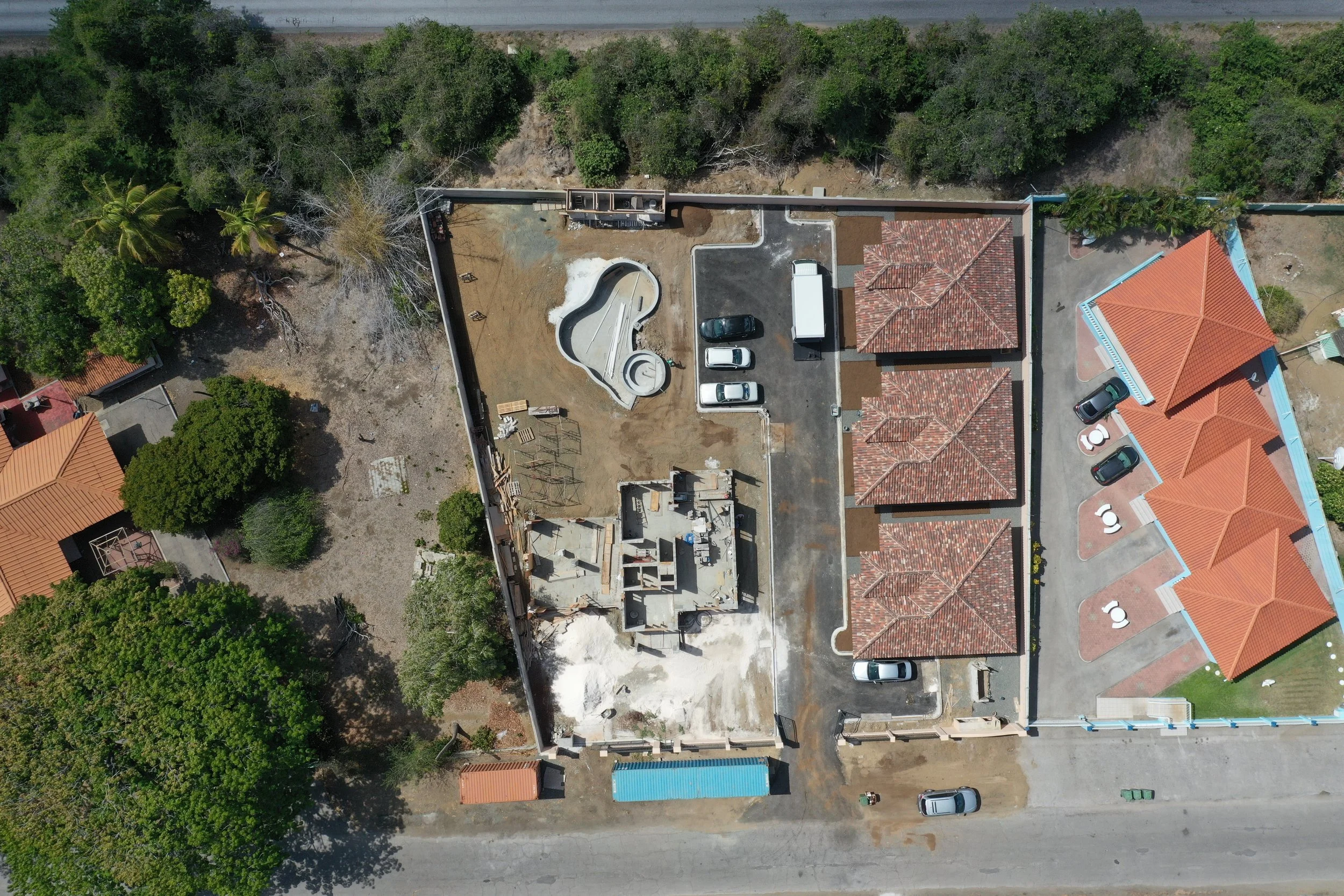
Drone mapping (sometimes called drone surveying) is a fairly straightforward way to collect data with drones . As it’s name suggests, it involves mapping an area of your choice with a drone to produce all kinds of useful outputs like an orthomosaic, digital elevation models and 3D models. Drone mapping allows a level of highly detailed data collection across a large area that isn’t possible through satellite images or traditional ground surveying.
Drone mapping works by taking many aerial images of an area of interest. Through a process called photogrammetry, these many images are then turned into a single complete image, called an orthomosaic. All the objects and features in an orthomosaic are scaled and can be georeferenced. This means that it’s possible to make measurements associated with location, distance, and area.

